
NavIC Explained: Disaster Warning & UPSC GS III
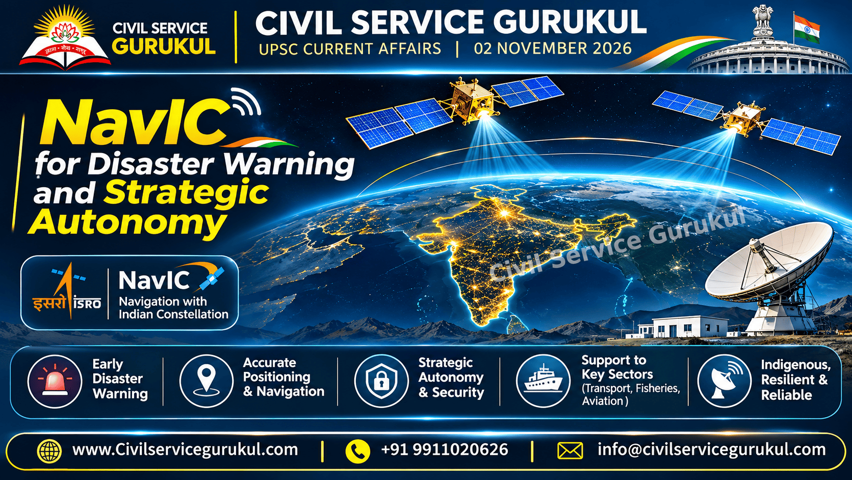
NavIC: How India's Indigenous Satellite Navigation Strengthens Disaster Resilience and Strategic Autonomy
A comprehensive UPSC Prelims and Mains analysis of ISRO's regional navigation system, positioning and timing, disaster-warning integration, maritime safety, technological resilience and national security.
NavIC, or Navigation with Indian Constellation, is India's indigenous regional satellite navigation system developed by ISRO.
Satellite navigation signals support positioning, navigation and timing services relevant to transport, fisheries, telecommunications and emergency response.
An indigenous navigation capability can reduce dependence on external service providers and strengthen strategic autonomy.
However, satellite navigation alone does not constitute a complete disaster early-warning system.
Effective warnings also require hazard observations, risk assessment, communication networks and last-mile action by local authorities.
1. Why NavIC Matters for India
Modern economies depend on reliable positioning, navigation and timing information.
Such services support transport, maritime activity, telecommunications, emergency response and other critical functions.
Dependence on external navigation providers may create strategic and operational vulnerabilities.
An indigenous regional system can contribute to technological resilience and national autonomy.
NavIC should be understood not merely as a satellite project, but as an enabling infrastructure for public services, economic activity and strategic resilience.
2. What Is NavIC?
NavIC stands for Navigation with Indian Constellation.
It is India's regional satellite navigation system, developed by the Indian Space Research Organisation, or ISRO.
The system supports positioning, navigation and timing applications within its regional service framework.
Institutional Background
ISRO is the principal organisation associated with the development of NavIC.
The system's practical utility also depends on compatible receivers, ground infrastructure, reliable clocks and operational service continuity.
The existence of a satellite navigation constellation does not automatically guarantee reliable service for every user or application.
Receiver availability, signal performance and supporting infrastructure also matter.
3. Understanding Positioning, Navigation and Timing
Satellite navigation systems provide signals that can support three major functions:
Positioning
Positioning helps determine the location of a compatible receiver.
Navigation
Navigation supports movement and route-related applications.
Timing
Timing services help provide accurate time references for systems that depend on synchronisation.
| Function | Illustrative Application |
|---|---|
| Positioning | Location identification for transport and field operations. |
| Navigation | Route support for maritime and transport users. |
| Timing | Synchronisation support for technical infrastructure. |
4. NavIC and Disaster Early Warning
Navigation technology can support disaster preparedness and emergency response through location and timing services.
However, disaster early warning requires more than navigation signals.
Components of an Effective Warning System
- Hazard observations.
- Scientific risk assessment.
- Warning generation.
- Communication networks.
- Last-mile delivery.
- Action by local authorities and communities.
Navigation systems can contribute to this wider ecosystem, but they do not replace meteorological, oceanographic or other hazard-monitoring capabilities.
NavIC is a satellite navigation system, not a complete standalone disaster warning system.
Disaster resilience depends on integration with observations, communication protocols and local response.
5. Maritime Safety and Fishermen's Protection
Fishermen and coastal communities may benefit from reliable location information and appropriately integrated warning services.
Navigation capability can support maritime positioning, while warning delivery requires compatible devices, communications and clear public protocols.
Important Requirements
- Affordable compatible receivers.
- Reliable service coverage.
- Accessible warning messages.
- Clear local response protocols.
- Training and public awareness.
Technology adoption must account for affordability and the practical needs of remote communities.
6. Strategic Autonomy and National Security
Indigenous navigation capability can reduce dependence on external satellite navigation service providers.
This may strengthen strategic flexibility in critical applications.
Why Indigenous Capability Matters
- Greater technological self-reliance.
- Reduced dependence on foreign navigation services.
- Support for strategic applications.
- Resilience in critical public services.
- Development of domestic technology ecosystems.
However, strategic autonomy should not be confused with complete technological isolation.
Interoperability and redundancy with other navigation constellations may strengthen service resilience.
7. Challenges and Policy Trade-offs
Receiver Compatibility
The practical benefits of NavIC depend on access to compatible receiving devices.
Affordability
High equipment costs may limit adoption among small users and remote communities.
Signal Validation
Independent signal validation can support reliability assessment and public confidence.
Operational Redundancy
Dependence on a single navigation source can create continuity risks.
Last-Mile Communication
Even accurate hazard warnings may be ineffective if they fail to reach at-risk communities.
Public policy should evaluate technology through measurable outcomes, not merely through announcements or infrastructure creation.
8. Way Forward: Building a Resilient Navigation Ecosystem
- Affordable Receivers: Promote compatible devices accessible to diverse users.
- Independent Validation: Strengthen confidence through transparent performance assessment.
- Multi-Constellation Redundancy: Use appropriate interoperability to improve resilience.
- Clear Warning Protocols: Define communication and response responsibilities.
- Last-Mile Delivery: Prioritise fishermen and remote communities.
- Public Awareness: Improve user understanding of navigation and warning systems.
- Institutional Coordination: Connect technical systems with disaster-management authorities.
- Outcome Evaluation: Measure reliability, accessibility and real-world usefulness.
9. Ethics and Governance Perspective
Public investment in strategic technology raises important questions of accountability, fairness and public trust.
A technically advanced system must also serve the needs of ordinary citizens.
| Ethical Value | Application |
|---|---|
| Accountability | Transparent assessment of system performance. |
| Integrity | Accurate reporting of technical capabilities. |
| Fairness | Accessible services for remote communities. |
| Public Trust | Reliable information and clear communication. |
| Responsibility | Appropriate contingency and response planning. |
Administrators should distinguish between demonstrated operational capabilities, proposed improvements and expected future outcomes.
10. UPSC Prelims: Quick Revision Notes
- NavIC stands for Navigation with Indian Constellation.
- NavIC is developed by ISRO.
- NavIC is a regional satellite navigation system.
- Satellite navigation supports positioning, navigation and timing.
- Compatible receivers are essential for practical use.
- Ground infrastructure supports service continuity.
- Navigation is not equivalent to complete disaster early warning.
- Disaster warnings require observations and communication systems.
- Indigenous navigation can support strategic autonomy.
- Redundancy can strengthen operational resilience.
11. UPSC Prelims Practice MCQs
NavIC is primarily associated with which organisation?
- ISRO
- ICMR
- SEBI
- Election Commission of India
View Answer and Explanation
Correct Answer: A. NavIC is India's regional satellite navigation system developed by ISRO.
Which of the following best describes the primary function of satellite navigation systems?
- Generating rainfall.
- Positioning, navigation and timing.
- Producing electricity.
- Replacing all communication networks.
View Answer and Explanation
Correct Answer: B. Satellite navigation signals support positioning, navigation and timing services.
Consider the following statements:
- NavIC is a regional navigation system.
- NavIC alone constitutes a complete disaster-warning system.
Which statement is correct?
- 1 only
- 2 only
- Both 1 and 2
- Neither 1 nor 2
View Answer and Explanation
Correct Answer: A. Statement 1 is correct. Statement 2 is incorrect because complete disaster warning also requires observations, risk assessment, communication and last-mile response.
Which of the following can improve the resilience of navigation services?
- Dependence on one receiver model only.
- Elimination of ground infrastructure.
- Redundancy with other navigation constellations.
- Removal of signal validation.
View Answer and Explanation
Correct Answer: C. Appropriate multi-constellation redundancy can support continuity when one navigation source faces limitations.
For effective disaster warning to fishermen, which of the following is most important?
- Only satellite positioning.
- Only satellite launch announcements.
- Only technical research papers.
- Integrated warnings, communication and local response.
View Answer and Explanation
Correct Answer: D. Effective warning requires integration of hazard assessment, communication and last-mile action.
12. UPSC Mains: Model Answer Writing
"Indigenous satellite navigation capability contributes to disaster resilience and national security." Discuss with reference to NavIC.
Word Limit: 250 words
Model Answer
Introduction: NavIC is India's indigenous regional satellite navigation system developed by ISRO. It provides positioning, navigation and timing capabilities that support important civilian and strategic applications.
Disaster Resilience: Reliable navigation can assist emergency response, maritime operations and location-based public services.
However, satellite navigation is not a complete early-warning system. Effective disaster warnings also require hazard observations, risk assessment, communication networks and local action.
Strategic Autonomy: Indigenous navigation capability reduces dependence on external providers and supports technological self-reliance.
It can strengthen resilience in critical applications, although interoperability with other navigation systems remains valuable.
Challenges: Receiver affordability, signal reliability, ground infrastructure, operational redundancy and last-mile communication remain important considerations.
Way Forward: India should promote compatible affordable receivers, independent signal validation, multi-constellation redundancy and clear warning protocols for fishermen and remote communities.
Conclusion: NavIC can strengthen strategic autonomy and disaster resilience when integrated with reliable infrastructure, inclusive public services and effective emergency communication systems.
Ethics Case Study
A coastal administration plans to promote satellite navigation-based warning services for fishermen.
However, many small fishing households cannot afford compatible receivers.
Question: What ethical and administrative considerations should guide implementation?
- Assess affordability and accessibility.
- Prioritise vulnerable coastal communities.
- Communicate technical limitations transparently.
- Ensure reliable warning protocols.
- Maintain alternative communication arrangements.
- Evaluate actual public-safety outcomes.
13. Frequently Asked Questions
What is NavIC?
NavIC is India's indigenous regional satellite navigation system developed by ISRO.
What does NavIC stand for?
Navigation with Indian Constellation.
Is NavIC a complete disaster-warning system?
No. It provides navigation-related capabilities that may support wider disaster management systems.
How does NavIC support strategic autonomy?
It can reduce dependence on external navigation providers and support indigenous technological capability.
Why are compatible receivers important?
Users need suitable receiving devices to access supported navigation services.
Why is NavIC relevant to UPSC?
It connects science and technology, disaster management, national security, strategic autonomy and governance.
Conclusion: NavIC as a Foundation for Resilient and Self-Reliant India
NavIC represents an important indigenous capability in regional satellite navigation.
Its value extends beyond location services to strategic autonomy and potential support for resilient public infrastructure.
The greatest public benefit will emerge when navigation capability is combined with affordable access, reliable communications, institutional coordination and effective last-mile response.
SEO Keywords and Tags
Prepare UPSC with Civil Service Gurukul
Master UPSC Science and Technology, Disaster Management, Indian Economy, Governance and Current Affairs with syllabus-focused learning resources, Prelims practice and Mains answer-writing guidance.
Website: www.civilservicegurukul.com
Mobile: +91 9911020626
Email: info@civilservicegurukul.com
Editorial Disclaimer: This article is an independent educational analysis based on the supplied study material. It explains general NavIC capabilities and related governance considerations. It does not independently verify specific 2026 launches, constellation status, technical performance or implementation outcomes. Candidates should consult current ISRO information and official disaster-management guidance before quoting time-sensitive claims in examinations.
Prepare with Mentors Who Cleared the Exam
Get personalized study plans, evaluated answer models, and test series access.