
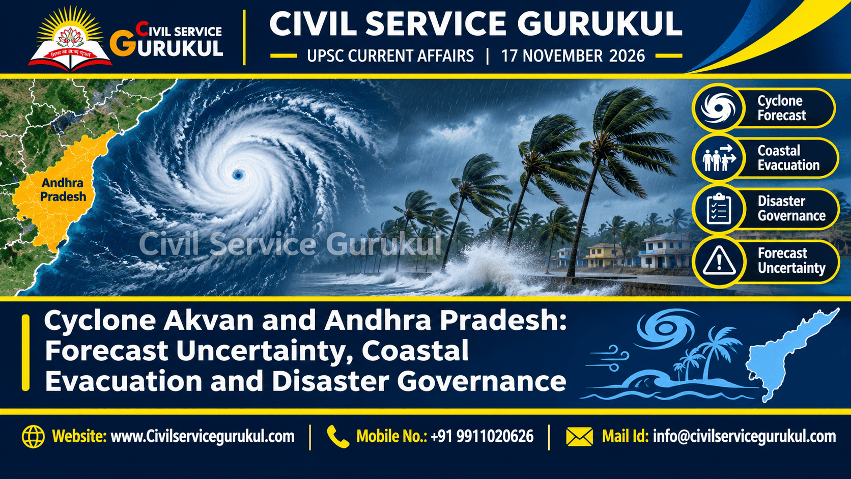
Why Is Cyclone Akvan in the News?
The supplied editorial discusses a developing cyclonic system over the Bay of Bengal and associated coastal preparedness concerns for Andhra Pradesh.
According to the editorial, the 16 November 2026 IMD national bulletin located a deep depression over the Bay of Bengal and projected intensification.
The supplied material further states that an IMD coastal bulletin valid early on 17 November identified Cyclonic Storm Akvan over the central south and adjoining west-central Bay of Bengal.
However, forecast intensity, movement and possible landfall remain projections until confirmed through subsequent observations and official updates.
The above bulletin descriptions are reported in the uploaded editorial.
The original IMD bulletins were not independently checked for this publication draft.
Readers should use the latest official IMD advisory for operational weather and safety decisions.
UPSC Syllabus Relevance
| UPSC Paper | Relevant Topics |
|---|---|
| GS Paper I | Physical geography, tropical cyclones, atmospheric circulation and coastal geography |
| GS Paper III | Disaster management, early warning systems, infrastructure resilience and disaster risk reduction |
| GS Paper IV | Administrative responsibility, empathy, equity, prudence and public accountability |
| Prelims | Cyclone formation, Bay of Bengal, storm surges, IMD and disaster management institutions |
What Is a Tropical Cyclone?
A tropical cyclone is a rotating low-pressure weather system that develops over warm tropical or subtropical waters under favourable atmospheric conditions.
Such systems may produce strong winds, heavy rainfall, high waves and coastal inundation.
Important Conditions for Cyclone Formation
- Warm ocean waters and sufficient ocean heat content.
- Moist atmospheric conditions.
- Atmospheric instability.
- Relatively low vertical wind shear.
- Sufficient Coriolis effect to support organised rotation.
- A pre-existing disturbance or low-pressure circulation.
These conditions support development, but do not guarantee that every disturbance will become a severe cyclone.
Why Is the Bay of Bengal Vulnerable to Cyclones?
The Bay of Bengal is an important region for tropical cyclone development in the North Indian Ocean.
Its coastal geography, population exposure and environmental conditions make cyclone risk a major disaster management concern.
Important Risk Factors
- Favourable atmospheric and oceanic conditions during cyclone seasons.
- Low-lying coastal areas.
- Dense settlements in exposed locations.
- River deltas and estuarine environments.
- Exposure to storm surge and coastal flooding.
- Dependence on fisheries and other coastal livelihoods.
Actual disaster risk varies across locations and depends on preparedness, infrastructure and social vulnerability.
How Does the India Meteorological Department Forecast Cyclones?
Cyclone forecasting combines multiple observation and modelling systems.
1. Satellite Observations
Satellites help monitor cloud patterns, storm organisation and movement.
2. Numerical Weather Prediction
Computer models simulate atmospheric conditions and estimate possible future developments.
3. Ocean Observations
Sea-surface temperature and other ocean conditions provide information relevant to cyclone development.
4. Meteorological Networks
Observations from weather stations, radars and other systems support monitoring and forecast updates.
Forecasts are revised as new observations and model outputs become available.
What Is Forecast Uncertainty?
Forecast uncertainty refers to the range of possible future weather outcomes rather than a single guaranteed result.
Cyclone tracks, intensity and timing may change as new information becomes available.
A predicted landfall location should therefore not be treated as a certain future event.
A cyclone forecast is a prediction, not a guarantee that the storm centre will cross a particular point.
Understanding the Cone of Uncertainty
A forecast cone represents uncertainty associated with the predicted track of a cyclone according to the methodology used by the forecasting agency.
It should not be interpreted as the complete area where hazardous conditions may occur.
Dangerous rainfall, winds and coastal flooding may affect areas outside a forecast track cone.
A location outside a forecast cone is not automatically safe.
Authorities must consider impact-based warnings and local exposure, not just the predicted storm centre.
Major Hazards Associated with Tropical Cyclones
| Hazard | Possible Impact | Preparedness Priority |
|---|---|---|
| Strong winds | Damage to buildings, trees and power infrastructure | Structural safety and infrastructure protection |
| Heavy rainfall | Flooding and drainage disruption | Flood preparedness and drainage management |
| Storm surge | Coastal inundation and damage | Coastal evacuation and shelter planning |
| High waves | Risks to fishing vessels and coastal activities | Marine advisories and safe harbour arrangements |
| Infrastructure disruption | Electricity, transport and communication failures | Emergency restoration and backup systems |
What Is a Storm Surge?
A storm surge is an abnormal rise in sea level associated with a storm, above the predicted astronomical tide.
Strong winds and atmospheric pressure effects contribute to storm surge.
Coastal shape, bathymetry and other local conditions influence the severity of inundation.
Why Storm Surge Is Dangerous
- It can inundate low-lying coastal settlements.
- It may damage roads, buildings and infrastructure.
- It can disrupt drinking-water and sanitation systems.
- It may threaten people who cannot evacuate in time.
Andhra Pradesh and Coastal Disaster Vulnerability
Andhra Pradesh has an extensive coastline along the Bay of Bengal.
Its coastal settlements, fishing communities, agricultural areas and infrastructure may face cyclone-related hazards.
The severity of consequences depends on the storm's actual characteristics and the exposure and preparedness of affected communities.
Important Coastal Risk Groups
- Fishing communities.
- Residents of low-lying settlements.
- People living in informal housing.
- Older persons and persons with disabilities.
- Daily-wage workers.
- People with limited transport access.
- Households dependent on coastal livelihoods.
Why Evacuation Costs Are Unequal
Evacuation may impose different burdens on different groups.
Some households can travel quickly and secure temporary accommodation, while others may face financial, physical or social barriers.
Common Barriers
- Loss of daily wages.
- Difficulty transporting family members.
- Limited accessible transport.
- Concerns about unattended property.
- Dependence on fishing or coastal work.
- Limited access to trusted information.
Disaster planning must therefore consider the actual circumstances of vulnerable communities.
Why Accurate Forecasts Alone Cannot Save Lives
Forecast accuracy is important, but disaster outcomes also depend on the effectiveness of warning communication and response systems.
A technically accurate forecast may fail to prevent losses if communities cannot understand or act upon the warning.
Essential Elements of Effective Response
- Timely hazard information.
- Clear public communication.
- Accessible evacuation transport.
- Safe and functional shelters.
- Medical and emergency services.
- Reliable local coordination.
- Protection of vulnerable populations.
Disaster resilience depends on the conversion of scientific information into effective public action.
Impact-Based Forecasting and Risk Communication
Impact-based forecasting connects weather hazards with their possible effects on people, infrastructure and economic activities.
Rather than communicating only meteorological parameters, authorities can explain what those conditions may mean for particular communities.
Important Communication Principles
- Use clear and understandable language.
- Provide relevant local information.
- Explain possible impacts and protective actions.
- Communicate uncertainty responsibly.
- Use multiple channels for last-mile delivery.
- Update warnings as conditions change.
Institutional Framework for Disaster Management in India
India's disaster management framework involves national, state, district and local institutions.
India Meteorological Department
IMD plays a major role in meteorological monitoring and weather forecasting, including cyclone warnings.
National Disaster Management Authority
NDMA provides national-level disaster management policy and guidance functions under the applicable legal framework.
State Disaster Management Authorities
State-level institutions coordinate disaster management planning and preparedness within their jurisdictions.
District Administration
District-level authorities play an important role in local planning, evacuation, shelter management and emergency coordination.
Local Bodies
Local institutions help connect public warnings with community needs and on-ground response.
Disaster Management Act, 2005
The Disaster Management Act, 2005 established a statutory framework for disaster management in India.
The framework provides for institutional arrangements and responsibilities across different levels of government.
For examination purposes, students should distinguish the original Act from subsequent amendments and updated institutional provisions.
Understand the roles of national, state and district-level disaster management institutions.
Do not confuse weather forecasting responsibilities with all disaster response functions.
Technology and Last-Mile Disaster Preparedness
Technology can support early warning and emergency response, but access to information is not uniform across communities.
Useful Approaches
- Mobile alerts and public messaging.
- Local-language communication.
- Community volunteers and local institutions.
- Accessible warnings for persons with disabilities.
- Backup communication arrangements.
- Local evacuation maps and shelter information.
Effective preparedness requires both technological systems and trusted community networks.
Ethical Dimensions of Cyclone Evacuation
1. Equity
Evacuation support should consider people facing greater barriers to safety.
2. Empathy
Administrators should recognise livelihood losses, mobility limitations and household responsibilities.
3. Prudence
Decisions should account for forecast uncertainty and potential serious consequences.
4. Accountability
Authorities should evaluate whether warnings and services reached intended communities.
5. Proportionality
Protective measures should be appropriate to the assessed risk and implemented with respect for human dignity.
Way Forward: Strengthening Coastal Disaster Governance
- Publish impact-based warnings: Communicate likely hazards and protective actions in accessible languages.
- Improve evacuation planning: Identify transport needs, safe routes and vulnerable households.
- Pre-position essential services: Arrange shelters, medical teams and emergency supplies in advance.
- Protect coastal livelihoods: Consider the specific needs of fishers and daily-wage workers.
- Strengthen local coordination: Connect meteorological information with district and community-level response.
- Ensure inclusive shelters: Address accessibility, sanitation, safety and basic health needs.
- Prepare infrastructure restoration: Plan for electricity, water and communication recovery.
- Conduct post-event audits: Compare warnings, actual impacts, response effectiveness and exclusion.
- Improve institutional learning: Use evaluation findings to strengthen future preparedness.
India's coastal disaster preparedness must combine scientific forecasting, impact-based communication, inclusive evacuation and accountable local governance.
UPSC Prelims Quick Revision
- Tropical cyclones are rotating low-pressure systems.
- Warm ocean conditions can support cyclone development.
- The Coriolis effect contributes to organised cyclone rotation.
- Forecast tracks contain uncertainty.
- A forecast cone does not mark the complete hazardous area.
- Storm surge is an abnormal rise in sea level associated with a storm.
- Cyclone risk includes wind, rain, surge, exposure and vulnerability.
- IMD provides meteorological monitoring and cyclone warnings.
- Disaster management involves multiple levels of government.
- Impact-based forecasting links weather hazards with possible consequences.
Original UPSC Prelims Practice MCQs
Question 1: Tropical Cyclone Formation
Consider the following statements:
1. Warm ocean
conditions can
support tropical
cyclone formation.
2. Relatively
low vertical
wind shear
can favour
cyclone organisation.
3. Tropical
cyclones necessarily
form directly
over the
Equator.
Which statements are correct?
(a) 1 and 2 only
(b) 2 and 3 only
(c) 1 and 3 only
(d) 1, 2 and 3
View Answer and Explanation
Correct Answer: (a) 1 and 2 only.
Warm ocean conditions and low vertical wind shear can favour cyclone development.
Cyclones do not ordinarily form directly over the Equator because the Coriolis effect is zero there.
Question 2: Forecast Uncertainty
Consider the following statements:
1. Cyclone
track forecasts
may change
as new
observations become
available.
2. A forecast
cone necessarily
contains every
location that
may experience
hazardous conditions.
3. Forecast
uncertainty is
relevant to
evacuation planning.
Which statements are correct?
(a) 1 and 2 only
(b) 1 and 3 only
(c) 2 and 3 only
(d) 1, 2 and 3
View Answer and Explanation
Correct Answer: (b) 1 and 3 only.
Forecast tracks may change and hazardous conditions may extend beyond the forecast cone.
Question 3: Storm Surge
Consider the following statements:
1. Storm surge
can cause
coastal inundation.
2. Wind and
atmospheric pressure
effects can
contribute to
storm surge.
3. Coastal
geography has
no influence
on storm
surge impacts.
Which statements are correct?
(a) 1 and 2 only
(b) 2 and 3 only
(c) 1 and 3 only
(d) 1, 2 and 3
View Answer and Explanation
Correct Answer: (a) 1 and 2 only.
Storm surge can inundate coastal areas, and local geography influences its impacts.
Question 4: Disaster Governance
Which of the following best represents effective cyclone disaster preparedness?
(a) Rely only on a single predicted landfall point
(b) Communicate warnings without evacuation arrangements
(c) Integrate forecasting, impact-based warnings, accessible transport, shelters and local coordination
(d) Ignore vulnerable communities during evacuation planning
View Answer and Explanation
Correct Answer: (c).
Effective disaster preparedness requires a coordinated system linking scientific information with protective public action.
UPSC Mains Practice Question
"Accurate cyclone forecasting is necessary but insufficient for effective coastal disaster management." Examine with reference to forecast uncertainty, impact-based warnings, inclusive evacuation and institutional coordination.
Suggested Answer-Writing Framework
Introduction: Define tropical cyclone risk and explain forecast uncertainty.
Scientific Dimension: Discuss IMD forecasting, observations and model updates.
Risk Dimension: Explain wind, rainfall, storm surge and coastal exposure.
Social Dimension: Discuss fishers, daily-wage workers and persons with disabilities.
Governance Dimension: Examine evacuation, shelters, communication and local coordination.
Conclusion: Recommend equitable, impact-based and accountable disaster preparedness.
Key Takeaways for UPSC Aspirants
- The supplied editorial reports Cyclone Akvan-related developments in the Bay of Bengal.
- Forecast intensity and landfall should not be treated as confirmed outcomes.
- Cyclone risk depends on multiple hazards and local vulnerability.
- Forecast cones do not identify every potentially dangerous location.
- Storm surge can cause serious coastal inundation.
- Evacuation costs are unequal across communities.
- Impact-based warnings should communicate consequences and protective actions.
- Effective disaster management requires institutional and local coordination.
- Post-event audits can improve future preparedness.
Frequently Asked Questions
1. What is Cyclone Akvan?
The uploaded editorial identifies Akvan as a cyclonic storm discussed in IMD-related updates dated 16–17 November 2026.
2. Why is the Bay of Bengal vulnerable to cyclones?
Favourable oceanic and atmospheric conditions, combined with exposed coastal settlements and low-lying areas, can create significant cyclone risks.
3. What is forecast uncertainty?
Forecast uncertainty means future weather conditions may differ from a single predicted track, intensity or timing.
4. What is a storm surge?
A storm surge is an abnormal rise in sea level associated with a storm, above the predicted astronomical tide.
5. Why is inclusive evacuation important?
Different communities face unequal transport, financial, physical and social barriers to evacuation.
6. Why is this topic relevant for UPSC?
It connects physical geography, disaster management, public administration, social vulnerability and ethical governance.
Conclusion: From Forecast Accuracy to Disaster Resilience
Cyclone forecasting is an essential foundation of coastal disaster preparedness.
However, scientific information must be converted into understandable warnings, accessible evacuation arrangements and effective local response.
Forecast uncertainty, storm surge risk and unequal community vulnerability require flexible and inclusive planning.
India's coastal disaster governance should therefore prioritise impact-based forecasting, last-mile communication, safe shelters, institutional coordination and measurable post-event learning.
The objective is not merely to predict cyclones more accurately, but to reduce avoidable losses and protect vulnerable communities.
Prepare for UPSC Prelims & Mains with Civil Service Gurukul
Strengthen your understanding of Geography, Environment, Disaster Management and Current Affairs through conceptual learning, original MCQs and structured Mains answer-writing practice.
Visit Civil Service Gurukul Contact Our TeamEditorial Note
This is an original educational analysis based on the topic and context supplied in the uploaded editorial.
The supplied material refers to IMD-related updates dated 16–17 November 2026 concerning a Bay of Bengal system and Cyclone Akvan.
The original official bulletins were not independently verified for this draft.
Forecasts should not be treated as confirmed landfall or impact outcomes.